603619
Stock code
(%)
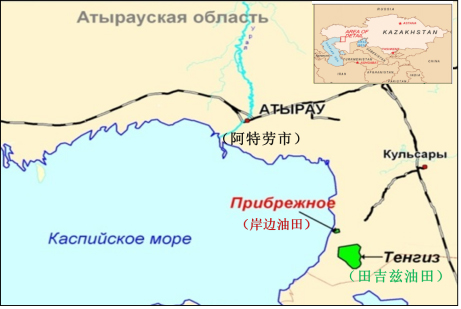
Coastal oilfield is administratively located in the Zhylyoi area of Atyrau region, with Rum, Karaarnai, Tazhigali, Tengiz, and Karolev oilfields around. This region has well-developed oil and gas infrastructure. Atyrau city, the capital of Kazakhstan's Atyrau Region and the country's third-largest city, is not only the most important port along the Caspian Sea but also has an international airport. The Atyrau-Samara oil pipeline has been completed, ensuring mature logistics and transportation conditions.
Structurally, coastal oilfield is located in the southern uplift zone of the Pre-Caspian Basin, within the Kraton-Tengiz uplift belt, targeting primarily the Cretaceous, Jurassic, and Triassic formations. Exploration has been limited to the Upper Cretaceous Senomanian. In 2020, ZPEC acquired the exploration license for 18.5 square kilometer, which was expanded to 90.54 square kilometers in 2022.
The coastal oilfield was discovered in 1975, and from 1975 to 1977, a total of 15 exploration wells were drilled. Currently, 7 are sealed, 7 show no signs of oil, and 1 has no data. In 1987, it was included in the national reserve balance sheet, with C1+C2 geological oil reserves of 33.997 million tons and recoverable reserves of 6.799 million tons.
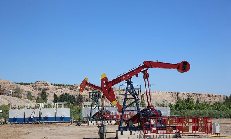
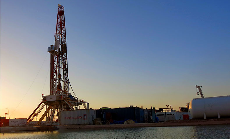
In 2023, ZPEC conducted drilling of 3 exploration wells in the coastal oilfield, all achieving industrial oil flow in the Upper Cretaceous. In 2024, three development test well groups will be carried out to evaluate the production capacity of horizontal and conventional wells, providing a basis for the preparation of the development plan in next step.
Following the completion of 3D seismic survey for the coastal project, not only was the accurate structural shape of the already discovered oil-bearing closures in the Upper Cretaceous Series further confirmed, but favorable structural closures were also discovered in the Lower Cretaceous Series, Jurassic, and Triassic formations. In total, 6 favorable structural closures were identified, including 4 in the Lower Cretaceous, 1 in the Jurassic, and 1 in the Triassic. The newly discovered closures in the coastal project share the same production layer as the Dongke and Kara oilfields and located in the same structural belt with a consistent hydrocarbon accumulation background. Through analogy analysis, it is believed that the newly discovered closures in the Lower Cretaceous, Jurassic, and Triassic of the coastal project have significant exploration potential.
In 2024, three exploratory wells will be deployed to further evaluate and confirm the oil and gas content in the central and southern blocks. If successful, the reserves will be further increased, laying the foundation for large-scale development in the next step.

Regional Geographic Map of the Coastal Oil Field

Exploration Well Location Map of Coastal Oil Field

Reserves Identification Conclusions Issued by Kazakhstan National Mineral Reserves Committee


copyright © 2021 中曼石油天然气集团股份有限公司 . ALL RIGHTS RESERVED 沪ICP备08116516号-1